
Innovative Solutions in Risk Management
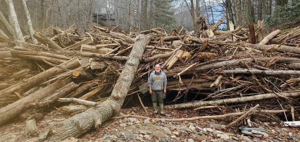
Specializing in risk assessment, mitigation consulting services, forensic analysis, and disaster recovery consulting to help communities and organizations prepare for natural disasters.
Consulting Excellence to Private Clients and Federal, State, and Municipal Governments
Proven Projects and Trusted Results
Our work reflects a commitment to technical accuracy, compliance, and dependable execution. Through successful projects and client testimonials, we demonstrate the value we bring to complex mitigation and recovery efforts. See how our experience delivers results you can trust.
Engineering Solutions for Resilient Communities
Pudar Mitigation Consulting delivers specialized engineering and consulting services to support communities, public agencies, and critical infrastructure owners. We provide turn-key solutions that guide clients through complex technical, regulatory, and compliance-driven processes with clarity and confidence.
Backed by extensive experience working with federal, state, and local stakeholders, our team brings practical expertise, precision, and reliability to every project.
